http://www.bestcountryreports.com/Political_Map_Iceland_Provinces.html
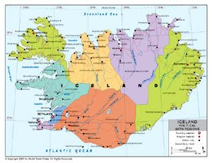
This political map shows Iceland, but has no information about the density of the land. It only shows the size of the island and the shape of it. As well as other aspects about their political boundaries, which has nothing to do with planimetric maps.
No comments:
Post a Comment